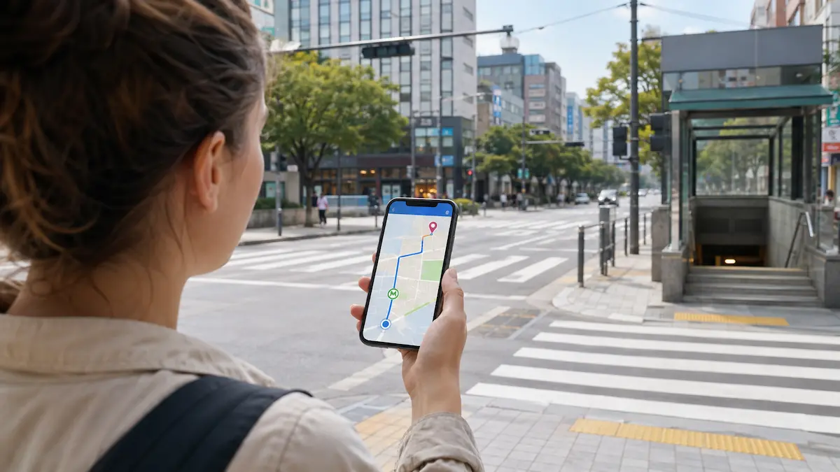
Google Maps does not become useless when you arrive in Korea. You can still use it to check landmarks, reviews, saved places and the general layout of an area.
However, NAVER Map and KakaoMap are designed around Korean roads, businesses and public transport. They are often more practical for local place searches, walking routes, bus information, subway directions and building entrances.
For most visitors, the simplest setup is:
- Keep Google Maps for reviews, saved places and general reference.
- Install NAVER Map or KakaoMap for local searches and routes.
- Check another map when a result looks unclear.
You do not need to learn every feature. This guide focuses on the functions that help you find the correct place and reach it without unnecessary confusion.
Quick Guide
| Situation | Practical option |
|---|---|
| First Korean map app | Start with NAVER Map or KakaoMap |
| English-language support | NAVER Map officially provides multilingual maps and English navigation |
| Checking another route | Compare the result with KakaoMap or NAVER Map |
| Reviews and saved travel lists | Google Maps can remain useful |
| English search does not work | Search with the Korean name or address |
| Finding a difficult entrance | Check the floor, building name and Road View or Street View |
| NAVER booking or payment without a Korean phone number | Check whether Passport Verification is available for your account and service |
NAVER Map or KakaoMap?
Both apps provide Korean place searches and routes for public transport, walking and driving. You can choose one as your main app and use the other when you want to compare a result.
NAVER Map
NAVER Map currently supports Korean, English, Simplified Chinese and Japanese as app languages. Available translated place information and navigation features can vary by app version and device.
Its main functions include:
- Place, bus and subway searches
- Public transport directions
- Walking and driving routes
- Real-time public transport information
- Boarding and alighting notifications
- Street and aerial views
- Saved places and shared lists
NAVER Map is a practical starting point for visitors who want clearly supported multilingual map information.
In June 2026, NAVER introduced Passport Verification for foreign users with passports issued outside Korea. This can allow eligible visitors to verify their identity without a Korean mobile phone number and use travel-related NAVER services such as Booking, Order and payment through NAVER Map.
Availability can still depend on the individual service, account and current app conditions, so do not assume that every booking or payment screen will work in exactly the same way.
Official downloads:
KakaoMap
KakaoMap provides route planning for public transport, driving, walking and cycling, along with place searches, navigation and public-transport boarding and alighting notifications. Kakao states that its routing information is updated frequently, although actual conditions can still change.
Its main functions include:
- Bus number, bus stop and place searches
- Public transport and walking routes
- Driving and cycling routes
- Real-time bus and traffic information
- Road View
- Saved places organized into groups
- Public transport boarding and alighting guidance where available
KakaoMap can be used as a main map or as a second source when you want to compare a place, route or entrance.
Official downloads:
App menus, translated place names and available functions can vary by device, operating system and app version.
What About Google Maps in Korea?
Google Maps remains useful in Korea, particularly for:
- Places saved to your Google account
- International traveler reviews
- Major landmarks
- General orientation
- Sharing places with other Google Maps users
The limitation is not that the app completely stops working. The practical difference is that Korean map apps may provide more detailed local search results and route information for everyday movement in Korea.
This can be noticeable when you are:
- Searching for a small restaurant or shop
- Looking for a specific branch
- Checking a bus stop
- Following a local walking route
- Finding a building entrance
- Confirming recently changed business information
In February 2026, the Korean government conditionally approved Google’s request to export 1:5,000-scale map data, subject to security requirements. This may lead to improvements in Google’s Korean map services, but the approval itself does not mean that all Google Maps functions change immediately.
Visitors should use the functions actually available at the time of travel rather than assume that a future improvement has already been applied.
Official information:
Set Up the App Before Arriving
Install the app and test it before your flight. There is no need to build your entire itinerary inside the map.
Start with your accommodation.
Search for the hotel, guesthouse or residence and confirm that the result matches your booking. Save the following information separately:
- Korean place name
- Korean road address
- English address
- Telephone number
- Building name
- Floor or room details, if relevant
Allow location access while using the app so it can display your current position and calculate a route from where you are.
Creating an account may help you synchronize saved places, but account requirements and available functions can change. Check the current app instructions if you want to use favorites, shared lists or other account-based features.
Keep a screenshot of your accommodation and its Korean address. A screenshot can help when mobile data is temporarily unavailable, but it does not provide live route changes.
For other arrival preparations, see First Day in Korea: Transport Cards, Map Apps and Payment Tips.
Search for the Correct Place
The most important map skill is not opening the app. It is confirming that you selected the correct destination.
Use this order:
- Search for the English place name.
- If the result is missing or unclear, copy the Korean name.
- Search with the Korean name or Korean road address.
- Compare the address, telephone number and branch name.
- Check the building and floor before starting the route.
The Korean name can usually be found on:
- The business’s official website
- A reservation confirmation
- An official social media account
- Your hotel or attraction booking
- A Korean address provided by the host
Avoid translating a business name yourself when the official Korean name is available. Translated names and romanized spellings may not match the name registered in the map.
Check the Branch, Address and Floor
Restaurants, cafés, clinics, shops and hotels may have several branches with similar names.
Before selecting a result, check:
- District or neighborhood
- Road address
- Branch name
- Telephone number
- Business category
- Building name
- Floor or basement level
Do not rely only on the English name or map pin.
If a location came from an old blog post or social media video, compare it with the business’s current official information. Businesses can move, close or change their names.
If you need help understanding the address, read How to Read Korean Addresses.
Choose a Route That Fits the Trip
After selecting the correct destination, choose your travel mode.
For most visitors, the main options are:
- Public transport
- Walking
- Driving or taxi
Compare these details before choosing a route:
- Expected arrival time
- Number of transfers
- Total walking distance
- Departure station or bus stop
- Direction of travel
- Final station or stop
- Recommended subway exit
The route with the shortest estimated time is not always the easiest. A route with fewer transfers may be more comfortable when carrying luggage or travelling with children.
Travel times are estimates. Traffic, waiting times, service changes and walking speed can affect the actual journey.
How to Follow a Bus Route
Confirm the exact bus stop before boarding.
Stops with the same or similar names may be located on opposite sides of the road. The bus number may be correct even when the stop serves the opposite direction.
Check:
- Bus number
- Stop name
- Stop location
- Direction of travel
- Estimated arrival information
- Number of stops before getting off
When the app provides boarding or alighting guidance, you can turn it on before the bus arrives. Notifications are helpful, but they should not be your only reference.
Also check the stop display or announcement inside the bus. Location information can be delayed if the phone has a weak GPS or data connection.
How to Follow a Subway Route
Before entering a platform, confirm the subway line and direction.
The direction may be shown using the name of a terminal station or another station farther along the line. Check that your destination appears on that side of the route.
During the journey, confirm:
- Line number and color
- Direction
- Transfer station
- Final station
- Exit number
Arriving at the correct station does not mean you have finished the route. A large station may have several exits, and the wrong exit can place you on the opposite side of a major road.
For tickets, transfers, signs and exits, read Seoul Subway Stations Explained.
Find the Actual Entrance
A map pin may identify the correct building without marking the most convenient entrance.
Before walking the final part of the route, check:
- Which side of the road the building is on
- Whether the entrance faces another street
- Building name
- Floor or basement level
- Nearby landmarks
- Road View or Street View, if available
In commercial areas, several businesses may share one building. The shop or restaurant name may appear only on the directory near the entrance.
Shopping malls, hospitals, underground arcades and office complexes can have multiple entrances. The closest entrance on the map may not connect directly to the place you need.
If your location marker appears to move in the wrong direction, stop briefly and compare the map with nearby roads, signs and buildings. GPS and compass accuracy can temporarily decrease near tall buildings or underground areas.
Save the Places You Will Need Again
You do not need to save every place mentioned in your itinerary.
Start with:
- Accommodation
- Airport or railway station
- Reserved restaurants
- Major attractions
- A nearby subway station
- Your return departure point
If the app provides folders or grouped favorites, organize places by city or travel day.
Keep separate screenshots of a few essential locations, especially your accommodation and return transportation point.
Common Map Mistakes
Before moving, check that you have not:
- Selected the wrong branch
- Chosen a bus stop across the road
- Entered a platform in the opposite direction
- Confused the station with the subway exit
- Missed the floor or basement information
- Used an outdated address
- Assumed that the map pin marks the entrance
Opening hours, temporary closures and transport changes may not appear immediately in every app. Confirm important reservations, late-night transport and time-sensitive journeys with the relevant business or transport operator.
Quick Map Checklist
Before leaving:
- Is this the correct branch?
- Does the address match the reservation?
- Is the station or bus stop in the correct direction?
- Have I checked the transfers and walking distance?
- Do I know the subway exit?
- Is the destination inside a larger building?
- Do I have enough battery and mobile data?
If the result still looks wrong:
- Search again using the Korean name or address.
- Compare the result with another Korean map app.
- Check the business’s official information.
- Show the Korean place name or address when asking for help.
For help beyond the map, see When Maps Are Not Enough: How to Ask for Help While Traveling in Korea.
Final Thoughts
Google Maps can remain part of your trip to Korea. It is useful for reviews, saved places and general reference.
For local movement, NAVER Map and KakaoMap provide information designed around Korean roads, businesses and public transport. Installing one Korean map app gives you a more practical way to search for places and follow local routes.
The basic method is simple:
- Search using the official place name.
- Confirm the branch and address.
- Check the route before moving.
- Look for the actual entrance at the end.
Once these habits are familiar, using Korean map apps becomes much easier.
Information checked in September 2026. App interfaces, language support, account verification, booking functions, map data and route features may change by version, device, account and region.